GPS Map Updates Explained

Raghu Yadav
| 25-05-2026
 · Automobile team
Not long ago, keeping your car's GPS accurate meant pulling the car into a dealership once or twice a year and waiting while a technician loaded new map data from a disc.
Roads that were built, renamed, or rerouted between visits simply weren't there.
Today's connected navigation systems work in an entirely different way — and the gap between the map in your dashboard and the road under your tires is closing fast.
How Map Updates Reach the Car Wirelessly
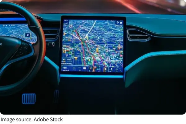
Over-the-air (OTA) updates are now the standard approach for delivering navigation map data to modern vehicles. The car's telematics control unit connects to the manufacturer's cloud server via 4G or 5G cellular, checks whether a newer map version is available for any of the regions the driver uses, and downloads updates in the background — often in patches rather than full replacements.
BMW's ConnectedDrive system, for example, delivers incremental quarterly updates that cover new roads, modified intersections, changed speed limits, and updated points of interest without requiring any driver action. The car checks for updates, downloads what it needs, and applies them during periods when the vehicle isn't in active use.
Map data is divided into regions. Navigation systems identify which areas a driver regularly travels through and prioritize updates for those zones first. As the car approaches a new region on a long trip, the system can prompt the driver to download that area's data before arrival.
Where Real-Time Traffic Comes From
The live traffic layer operates on a different and faster cycle than map updates. Real-time congestion data is aggregated from multiple sources simultaneously: GPS signals from hundreds of millions of connected personal navigation devices, fleet vehicles, and smartphones; road sensors and cameras operated by highway authorities; and crowdsourced reports from apps like Waze, where drivers actively flag accidents, construction, and speed traps.
TomTom's traffic service collects data from over 400 million drivers and refreshes its traffic model every two minutes.
This aggregated data travels to the navigation system via the same cellular connection, where the routing engine analyzes it against the planned route and recalculates if a faster alternative exists.
FM RDS and HD Radio broadcast channels still carry traffic data for vehicles without cellular connectivity, though cellular delivers significantly faster and more detailed updates.
Why Accurate Maps Matter Beyond Directions
Outdated navigation data creates friction that goes beyond wrong turns. Modern advanced driver assistance systems rely on map accuracy to function properly — lane-keeping assist, adaptive cruise control, and speed limit recognition all perform better with current road geometry data.
For autonomous driving, the requirement is even more demanding: self-driving systems depend on high-definition maps that reflect current-condition reality, not a snapshot from months ago. The direction the industry is moving is toward continuous, streaming updates pushed to the vehicle in real time via V2X connectivity — a model where the map is effectively always live.
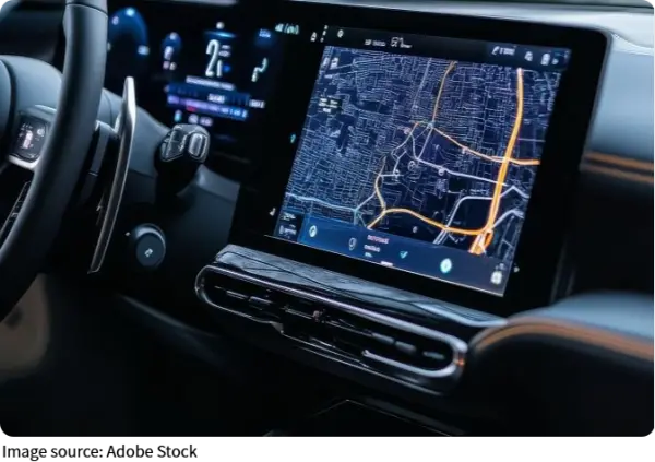
Today's navigation systems are no longer static discs but living maps that evolve with the roads. Over-the-air updates deliver new data wirelessly, often without the driver noticing. Real-time traffic from millions of sources helps reroute around congestion within minutes.
Accurate maps now support safety features like lane-keeping and adaptive cruise control. The days of yearly dealership visits for map updates are fading. The direction the industry is moving is toward continuous, streaming updates pushed to the vehicle in real time via V2X connectivity — a model where the map is effectively always live.